
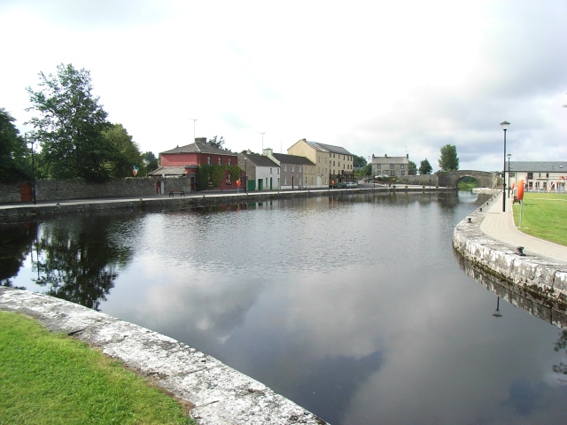
The towpath once served boats carrying goods and passengers between Dublin and the Shannon. Modern walkers and cyclists now share a corridor shaped by nineteenth-century engineering and many decades of waterway use.
Cloondara and Richmond Harbour mark the western end. In between are canal locks, old bridges and quieter stretches of farmland and bog; the Longford Town branch offers a separate connection to the county town.
Visit Longford describes the county section from Cloondara to Abbeyshrule as approximately 30 km, with the branch to Longford Town about 16.5 km. Those lengths make it sensible to choose a section rather than assume the whole route is a casual stroll.
The National Famine Way shares much of the towpath. Its commemorative markers add the story of people who passed through this landscape in 1847 on their way from Strokestown towards Dublin and emigration.
Access points, surfaces and temporary restrictions matter, especially for cyclists. Use the published greenway map and Waterways Ireland notices for the section you intend to travel.
Among the useful Longford access points named in the visitor guide are Cloondara, Killashee, Mosstown Harbour, Ballybrannigan Harbour, Abbeyshrule Harbour and the Longford Town branch. Choose one of these places as an actual starting point; a pin on the canal line does not necessarily indicate parking or a safe entrance.
The towpath is a shared walking and cycling route. Plan a specific section and check current Waterways Ireland and local notices for surface works or restrictions.
Plan a visit ↗